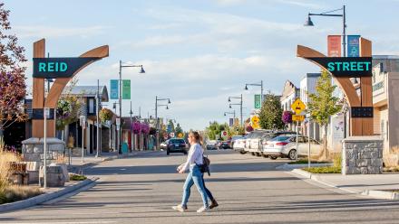
The Official Community Plan (OCP) is the City’s long term vision of the community. It includes objectives and policies that guide planning and land use management decision-making. The plan includes policies that support positive economic, social, cultural and environmental outcomes including strategies for transportation, housing, sustainability and impacts of climate change.
All lands in the community are provided with designations for future development.
Official Community Plan Bylaw No 1879 - Consolidated
Designation Map Schedule B [PDF/690KB] - Excerpted and Consolidated
Major Road Network Map Schedule C [PDF/1.4MB] - Excerpted
Infrastructure Map Schedule D [PDF/1.8MB] - Excerpted
OCP Updates 2025
The City of Quesnel is working with Small Housing and Aspen Lands Advisory to update our Official Community Plan (OCP) and coordinate changes to our Zoning and Development Process Bylaws. This work is being done in part to provide updates to comply with recent changes in provincial laws, but we are also interested in refreshing our policies and bylaws and providing changes to better align our local policies with changing needs and trends.
This project will include several engagement opportunities, including:
- Email newsletters and social media posts on project developments
- Open houses to discuss the OCP and changes
- 1:1 interviews and/or small group discussions
For project updates and engagement information, visit the Official Community Plan Update page on Let's Connect Quesnel here:
Development Permit Areas And Guidelines
The Official Community Plan also identifies and provides guidelines for development in areas defined as development permit areas. Development permit areas are designated for locations that require special treatment for certain purposes including protection of development from hazards, meeting form and character objectives for specific development areas, and revitalization of commercial areas.

